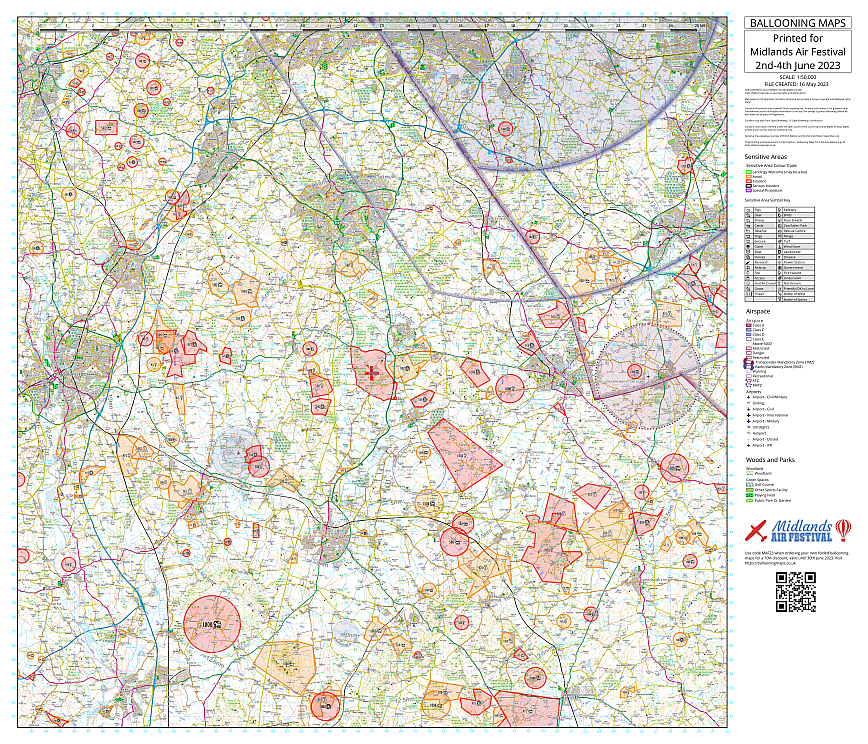
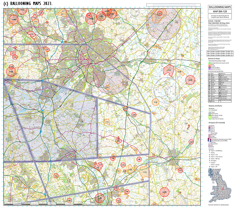
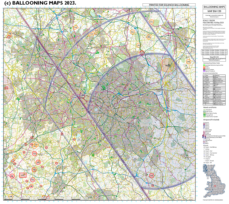
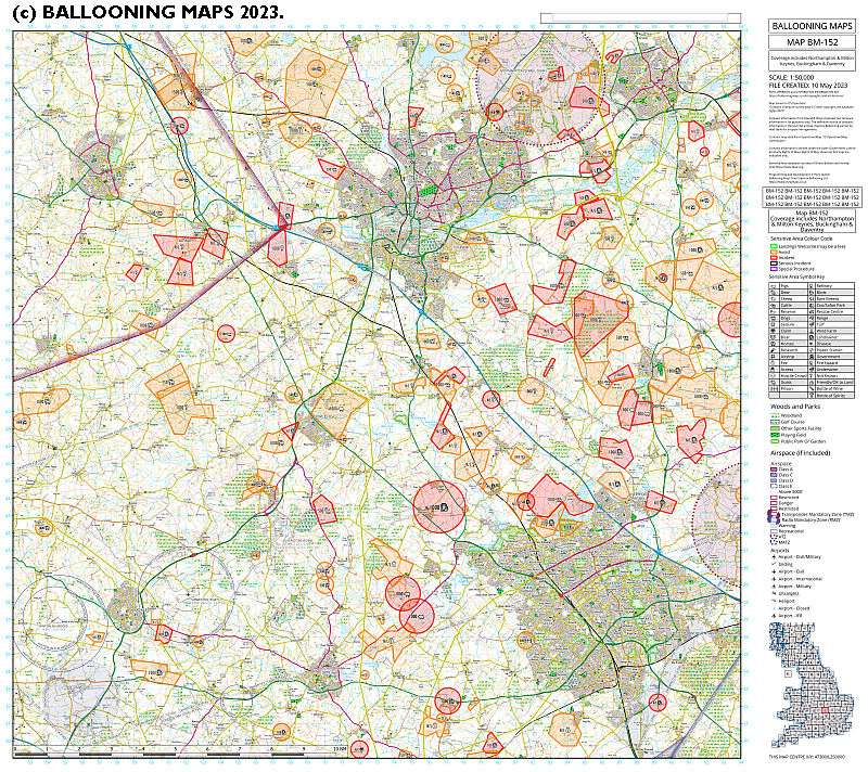
Description
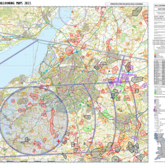
Folded 42km x 42km balloon flying map, overprinted with the latest BBAC sensitive areas.
Maps are printed on similar paper to other maps available at this scale, and can be folded in a similar way or supplied flat. They do not have a cover.
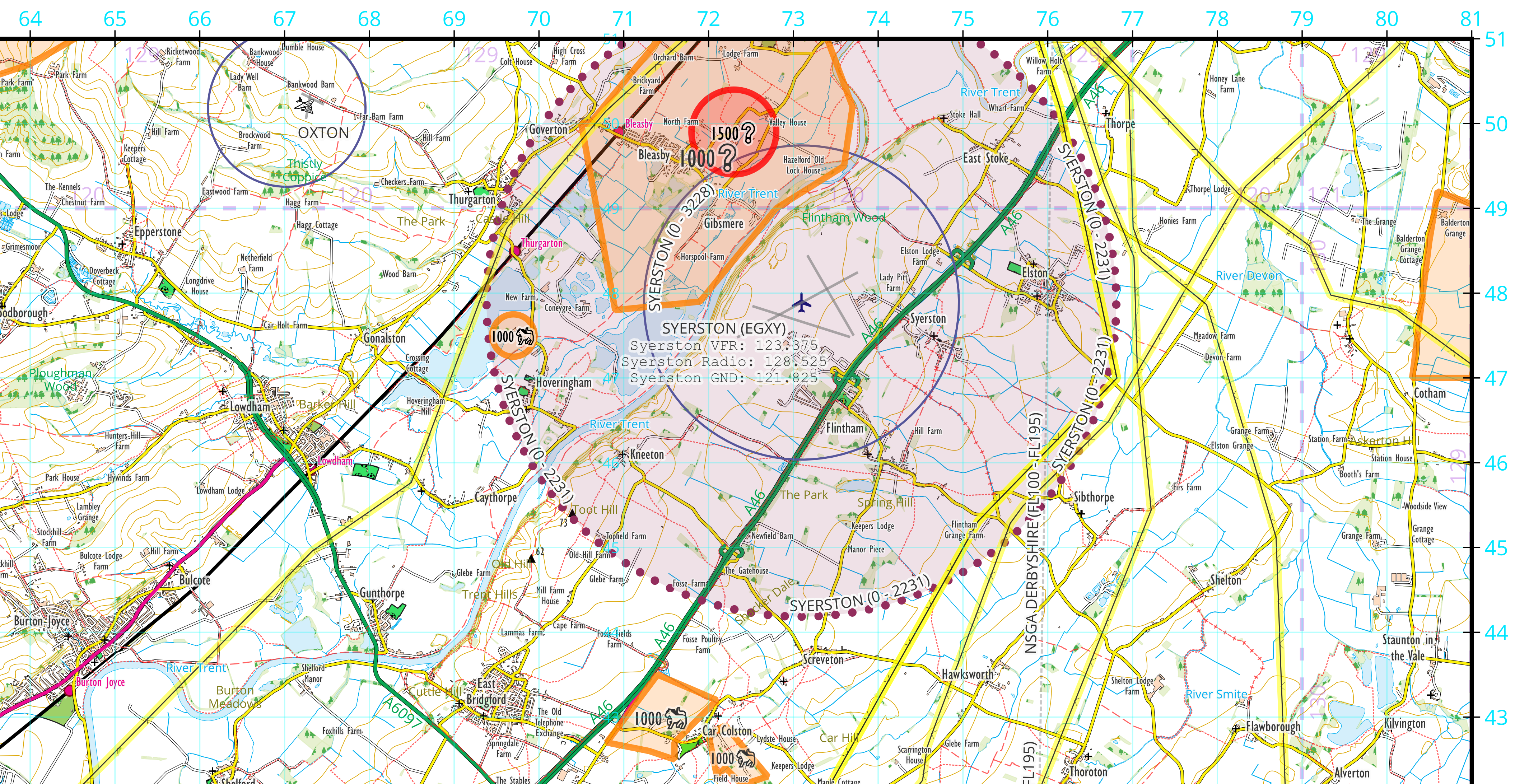
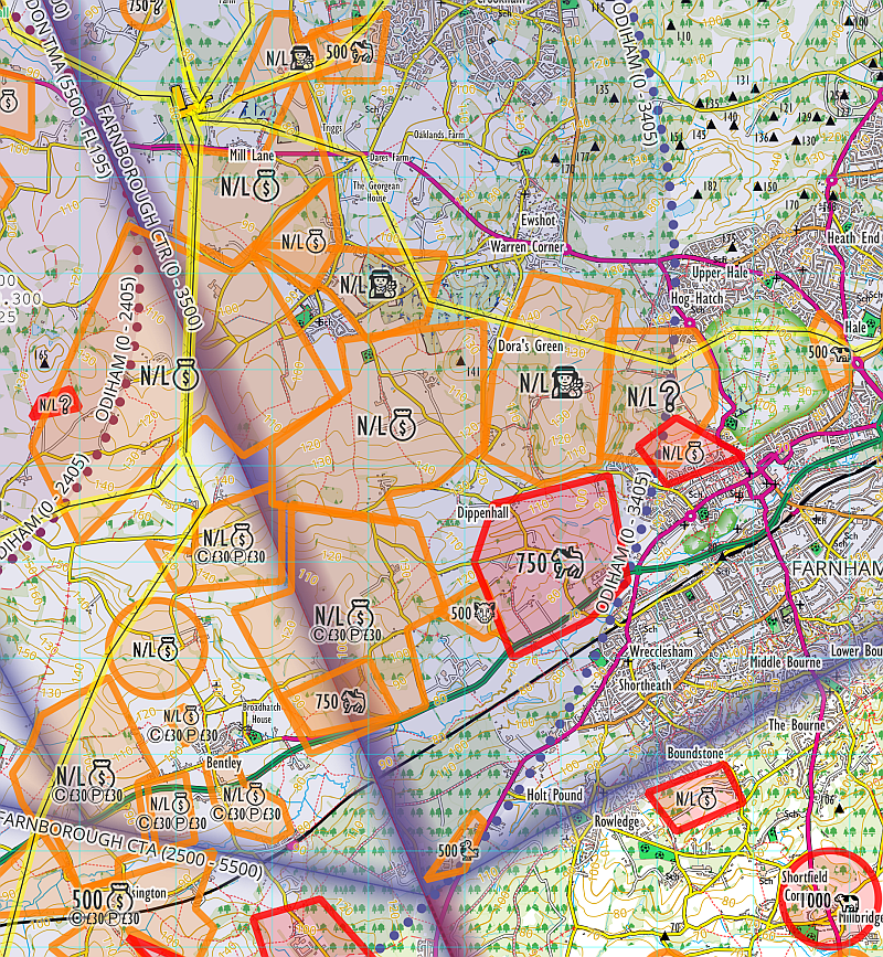
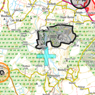
Airspace printing is included in the price. Airspace is shown for guidance only and is courtesy of OpenAIP.net.
The map will be centred on the launchsite of the event.
The styling of the map will be familiar to users of other 1:50,000 maps. However the base map is NOT the Ordnance Survey map. This map has been styled to highlight important features to balloonists. High-voltage electricity lines are highlighted in yellow. Playing fields and parks are emphasised. Unnecessary names like those of streams are not prioritised. Public rights of way are drawn where these are supplied by local authorities but are not necessarily up to date.
Note: due to limitations of the printing process, the ink very close to any sharp map folds may crack off. This is unavoidable but does not affect the readability of the map.
Price includes postage to one UK address. Please allow two weeks for preparing, printing and postage.
Landranger is a trademark of Ordnance Survey

Reviews
There are no reviews yet.